wellness
Hidden Hiking Trails Eugene Locals Love
Discover the quiet nature walks Eugene residents favor on unmarked Ridgeline paths. Skip crowded tourist routes for local-only trail secrets.
Listen in English · 3 min
How we reported this
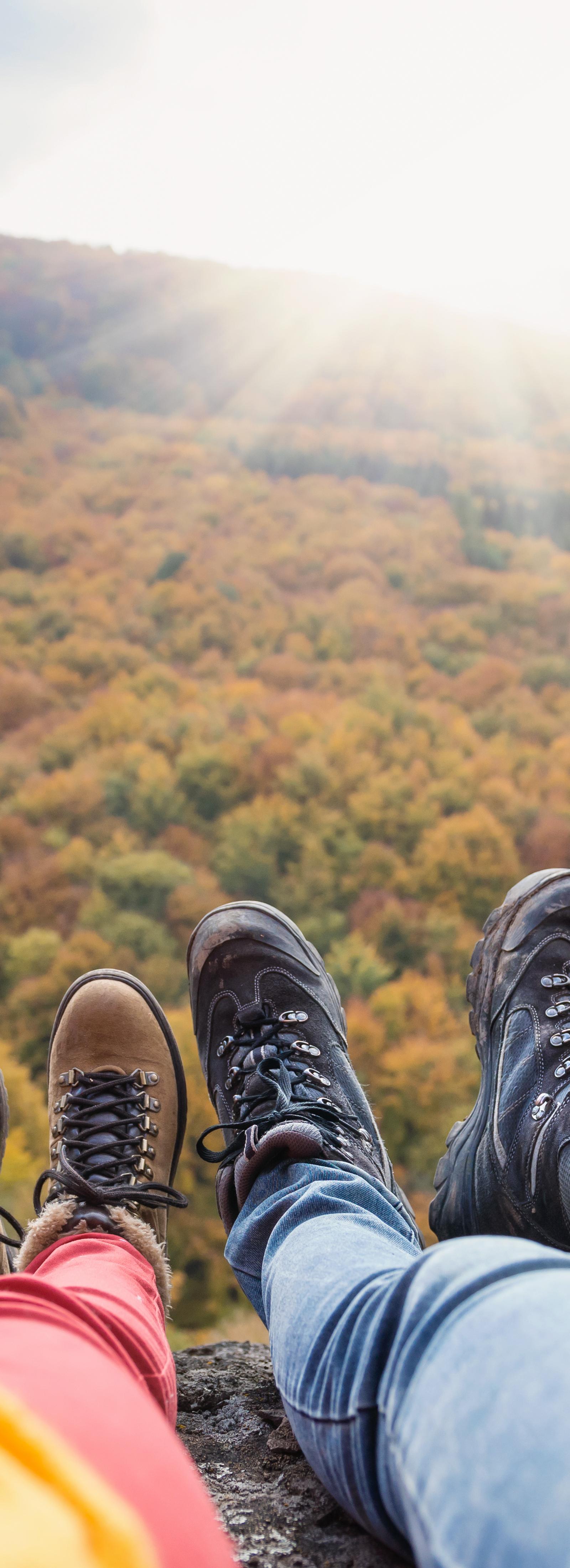
Eugene Parks and Open Space staff logged 312,000 trail visits in the first half of 2026 on the Ridgeline system alone, yet most of those users entered from neighborhood streets rather than official trailheads shown on visitor maps.
July brings longer daylight and lower river levels that open side routes normally too muddy or overgrown for regular use, which explains why more locals have shifted morning workouts to these lesser-marked stretches instead of the riverfront paths that draw out-of-town runners.
Two routes residents reach by bike or short drive
The section of the Ridgeline Trail that begins at the end of Blanton Road in the South Hills climbs through second-growth fir without any signage until it meets the main spine near 18th Avenue. Regulars from the Eugene Trail Running Club park at the small pullout there and cover the three-mile loop before commuter traffic builds. A second option sits along the Amazon Creek greenway west of 29th Avenue, where a narrow dirt spur leaves the paved path near the Westmoreland neighborhood and follows the creek for nearly two miles through blackberry thickets before rejoining the main corridor at Polk Street.
Usage numbers and access details
City records show the Blanton Road entrance saw 47,000 visits between January and June 2026, compared with 189,000 at the signed Spencer Butte trailhead. Both routes remain free, though the small lot at Blanton fills by 7:30 a.m. on weekdays. The Parks and Open Space division posts updated trail-condition reports every Monday on its website, listing any recent slide repairs or seasonal closures.
Walkers new to these routes can download the free Eugene Parks map layer that marks the spurs, then start before 8 a.m. to avoid afternoon heat and return via the same neighborhood streets used by locals.